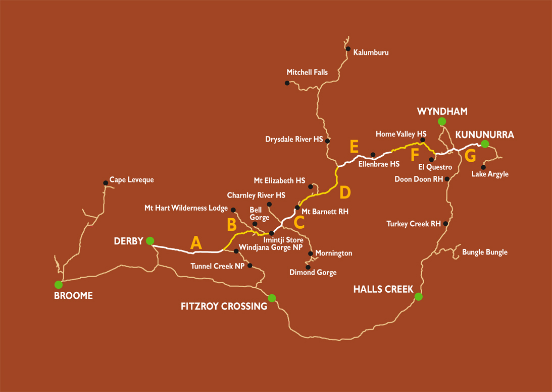
Fairfields Leopold Downs Road in the Kimberley
in Australia
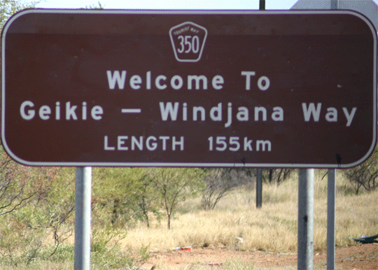
Fairfields Leopold Downs Road to Tunnel Creek and Windjana Gorge
the Kimberley's in Western Australia
Fairfields Leopold Downs Road
Fairfield Leopold Downs Road’s name is derived from the two Cattle Stations it passes through to reach the Gibb River road at its western end.
Windjana Gorge National Park
Windjana
Gorge was gazetted as a national park in November 1971 because
of the need to protect and preserve its natural attractions
and to offer facilities to its many visitors. The park covers
over 2000 hetares including Lilimillura Police Station Ruins
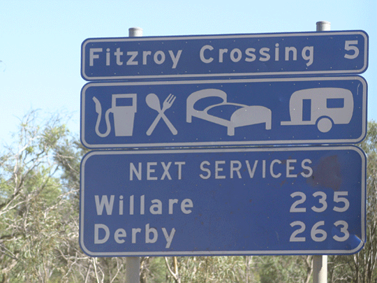
and is situated 145 kilometres east of Derby and 150 kilometres
north west of Fitzroy Crossing. The main attraction of Windjana
is the scenic gorge carved by the Lennard River, through the
Napier Range, which exposes the ancient reef system, regarded
by geologists as a classic feature of world geology.
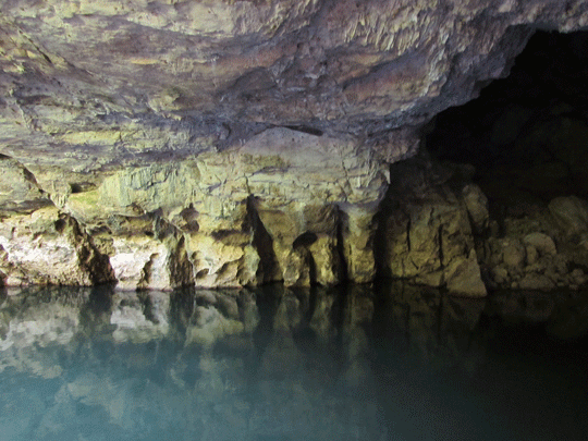
The Lennard River runs through the gorge in wet weather, but during the dry season it forms pools surrounded by trees and shrubs.
A short walk of about 500 metres takes you to Bandingan Rock. As you make your way you will be able to see a fossil nautoloid, a type of prehistoric crustacean embedded in the limestone wall.
Green-tree ants build their nests in the canopies of the River Figs and Archer Fish wait along the river bank for insects on which they prey.
In the pool around Bandingan Rock, there is a resident population of over 70 Freshwater Crocodiles. These animals do bite so swimming is not recommended, but if you choose to, do so at your own risk.
Continuing through the gorge you will pass a colony of Fruit Bats or Black Flying Foxes noisily roosting in the tres along the river banks. Passing the "classic face" you will eventually come to the end of the gorge opening onto the savannah plains, about 3.5 kilometres from the entrance.
The gorge is an ideal place for photography, birdwatching, walking or relaxing, particularly in the late afternoon when the gorge walls are reflected in the water. To return, you will need to retrace your steps.
The "Savannah Walk" takes you close to the southern side of the Napier Range and is also an alternative path from the Quiet Campground to the gorge.
Things You Need To Know
Where is Windjana Gorge Western Australia?
150 kilometres from Fitzroy Crossing and 145 kilometres from
Derby.
Travelling time to Windjana Gorge Western Australia
Three hours from Fitzroy Crossing and two hours from Derby.
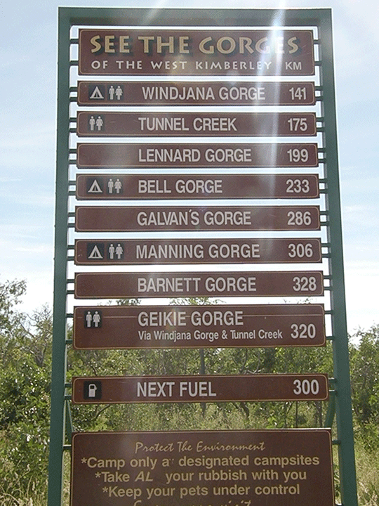
The road to Windjana Gorge and Tunnel Creek
Fairfields Leopold Downs Road to Windjana Gorge/Tunnel Creek
Getting to Tunnel Creek National Park
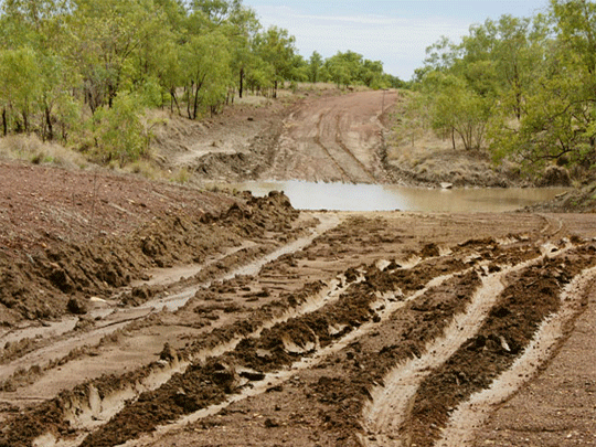
Access to the park is via unsealed roads, approximately 35 kilometres
southeast of Windjana Gorge National Park or 90 kilometres from
Fitzroy Crossing.
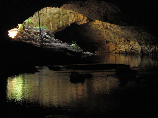
Tunnel
Creek National Park is a day use area only, with facilities
limited to toilets and an information shelter. No overnight
camping is permitted and access is limited to the dry season
only.
©
source | courtesy of australiasnorthwest.com
What to do at Windjana Gorge Western
Australia
Camping, sightseeing, walking, photography, nature observation.
Gorge Walk - a 7 km return walk takes you along the full length of the gorge and back. It runs along the course of the Lennard River, which becomes a series of pools in the dry season. It allows you a close look at the gorges resident fruit bats, corellas and freshwater crocodiles. :
Facilities at Windjana Gorge Western Australia
Camping (toilets and water).
Best season
May to September. May be inaccessible during the wet season.
(Information
supplied by the Department Environment & Conservation)
©
source | courtesy of www.derbytourism.com.au
-
4wd Wagon hire -
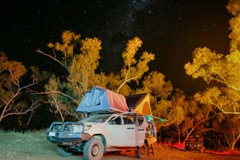 4wd camper family of 5
4wd camper hire for a family of May till October Broome and Darwin
Darwin 4wd camper
-
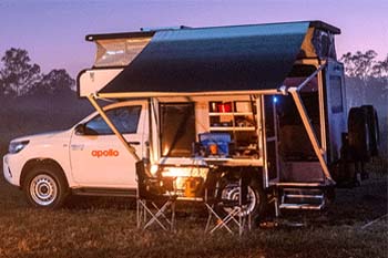 4wd Adventure Camper
Sleep inside more room better kitted out Adventure camper rental
4wd camper Darwin