Timber Creek on the Victoria Highway in Northern Territory |
||||||||||||||
 � � |
||||||||||||||
|
About Timber Creek in Northern Territory
Australia
~ Home ~ Site destination links ~ Kimberley Map ~ Maps� |
||||||||||||||
|
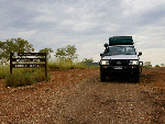
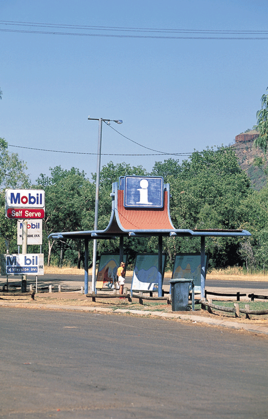
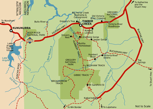
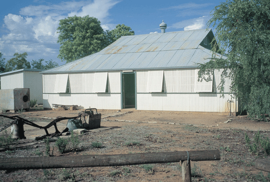
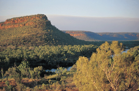
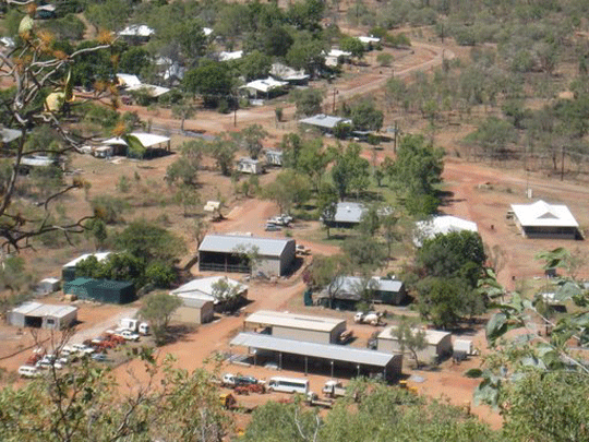
About Timber Creek in Northern Territory Australia � It doesn't matter if you are passing on through on your way to the Kimberly region in the west or to Katherine in the east or want to stop over for a while, we would like to invite you to drop in to our Timber Creek Hotel and Circle F Caravan Park and Motel. Timber Creek a small outback town with a small population of 556 is located on the Victoria Highway, 285 km west of Katherine and 193 km east of the border between the Northern Territory and Western Australia. See WA/NT border Quarantine Station. It located on the Victoria Highway, which is the main route connecting Australia's Top End and the Kimberley region on the Savannahway. The location of Timber Creek township makes it a stopover location and base to explore the Gregory National Park. Also to get supplies. Suggest for a stopover Suggest for a stopover use Timber
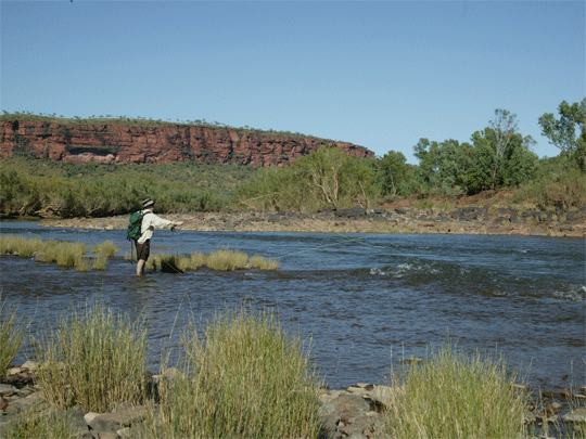
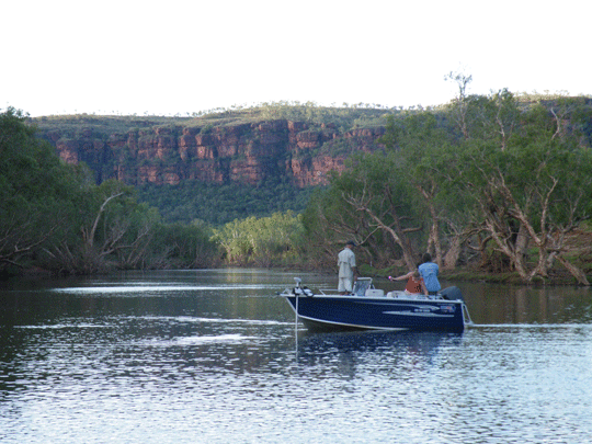
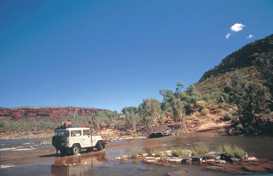
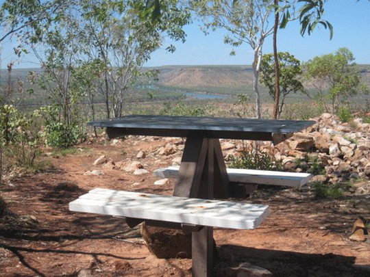
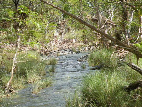
Creek Hotel and Circle F Caravan Park and Motel. Another stopover is the Big Horse Creek Campground 7km west of Timber Creek, the Big Horse Creek is a popular base for anglers. The grounds offer toilets, fireplaces, limited drinking water and a cement boat ramp which can be used year round. The Vic is a mecca for fishing and produces some of the Territory�s best and biggest Barramundi. �Barra� can be caught all year round but the best time is on a neap tide, between the months of March to late May-coinciding with the end of the monsoon season called the �Run-off�.It is VERY important to remember that Estuarine Crocodiles (saltie�s) inhabit this area, so please observe all safety precautions/signs around any water way in this region.
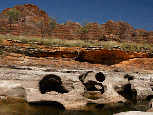
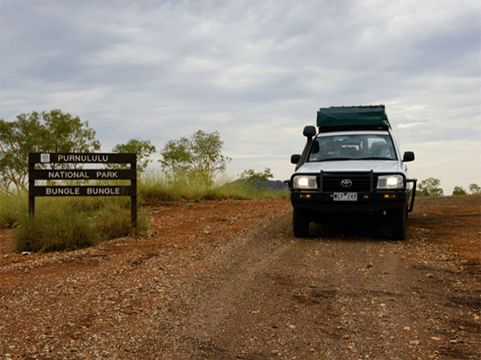
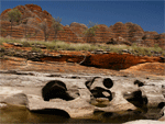
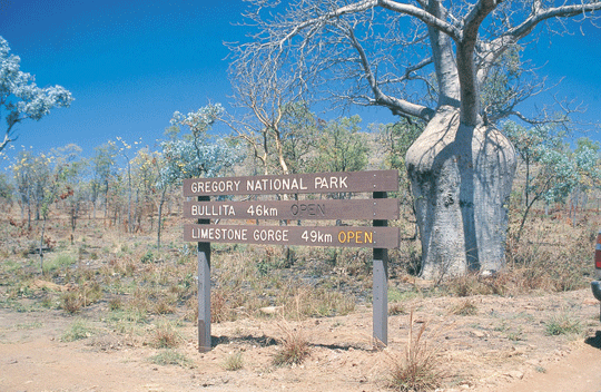
Gregory National Park Joe Creek Walk Kuwang Lookout Policeman's Point Lookout Police Station Museum Top Springs Buntine Highway Victoria River Crossing Katherine Visitor Information Centre - just past the petrol station south of town - friendly staff we found and good for booking Victoria River activities. |
||||||||||||||
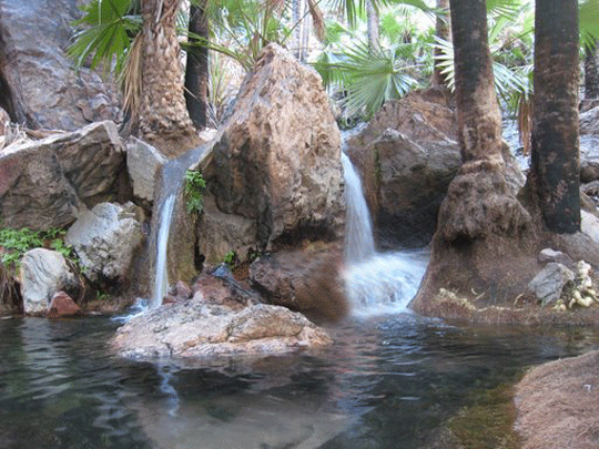
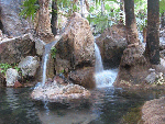
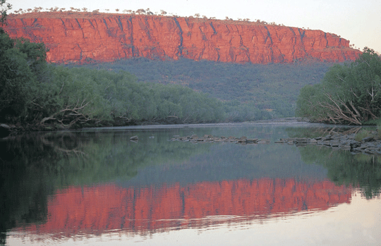
 � �Victoria River Region |
||||||||||||||
 � � |
||||||||||||||
|
|
||||||||||||||
 � � |
||||||||||||||
|
|
||||||||||||||
 � � |
||||||||||||||
|
|
||||||||||||||
 � � |
||||||||||||||
 � � |
||||||||||||||
|
|
||||||||||||||
 � � |
||||||||||||||
|
|
||||||||||||||
 � � |
||||||||||||||
|
|
||||||||||||||
 � � |
||||||||||||||
 � � |
||||||||||||||
 � � |
||||||||||||||
 � � |
||||||||||||||
 � � |
||||||||||||||
|
||||||||||||||
![]()

Instant detailed price search.


Search online for current best prices and a get a detailed quote. As a proudly Australian, family owned specialist travel agent business/company, we strive to exceed your expectations with our experienced service and friendly team of Rob and Marg whilst keeping prices as cheap as we can. We source only known reputable industry specialists some you may have never heard off but anchored as reputable suppliers across Australia. Due to the teams many 100's of thousdand of quotes and our many thousands of bookings over the last 20 years we know we can offer excellent value and above all perosnal service when booking your next Australia 4wd hire for a 4x4 camper or 4x4 car for your Australia RV holiday.
-
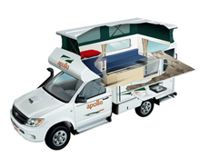
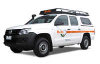
Apollo 4wd Adventure Camper rental
2 Berth - The compact Adventure Camper is perfect for those interested in a real outback adventure. Far roomier than similar vehicles, this 4WD campervan is ideal for thrill seeking couples. The extra fuel capacity means you can travel for longer without having to stop and the indoor and outdoor cooking facilities allows you to enjoy a dinner under the stars or in the cosy camper.
� 4wd Adventure rentals for outback travel -
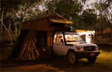
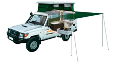
Britz LC Safari camper rental
Our unique Safari LC 4WD Camper sleeps 2 on the double rooftop bed and 3 more in the side annexe is perfect for off-road family adventures.Wonderful for exploring the great Australian Outback with a four wheel drive self drive hire. Available from Perth, Darwin, Broome and Alice Springs (return or oneway) and seasonal April till October each year so book early.
� 4wd Outback camper hire for offroad -
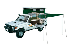
Apollo 4wd Trailfinder camper rental
Find your own trail with this pop-top 4WD Camper. A Trailfinder Camper is ideal for adventurous couples with superior handling in rough terrain. Featuring a large slide-out kitchen and pop top roof.
� 4wd Trailfinder camper rental Australia
-
Australia 4x4 wagon offroad hire
Choose a Australian 4 wheel drive car hire return or oneway rentals from branches in Adelaide, Alice Springs, Brisbane, Broome, Cairns, Darwin, Melbourne, Perth and Sydney depots. Look at our current Australia 4wd hire specials.
� Australia 4wd car with roof rack and snorkel
-
Australia 4x4 camper offroad hire
Australia 4 Wheel Drive Hire.com - Northern Territory or Western Australia offroad routes Self drive Australia 4wd and highway routes � 4WD Broome to Darwin, Margaret River Wine Experience � Wine Forest Experience selfdrive.
� 4wd Camper hire for Gibb River Road
-
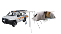
Australia 4x4 and tent offroad hire
5 Seat 4WD Campers or 4WD Car with tents packages for camping hire called the Safari Camper sleeps up to 5 Adults with camping gear. Camp early eve and enjoy the great outdoor and have your dinner at a 5 million star spot.
� See prices and get a quote for Australia 4wd car hire here